Getting married in Donegal & the North West
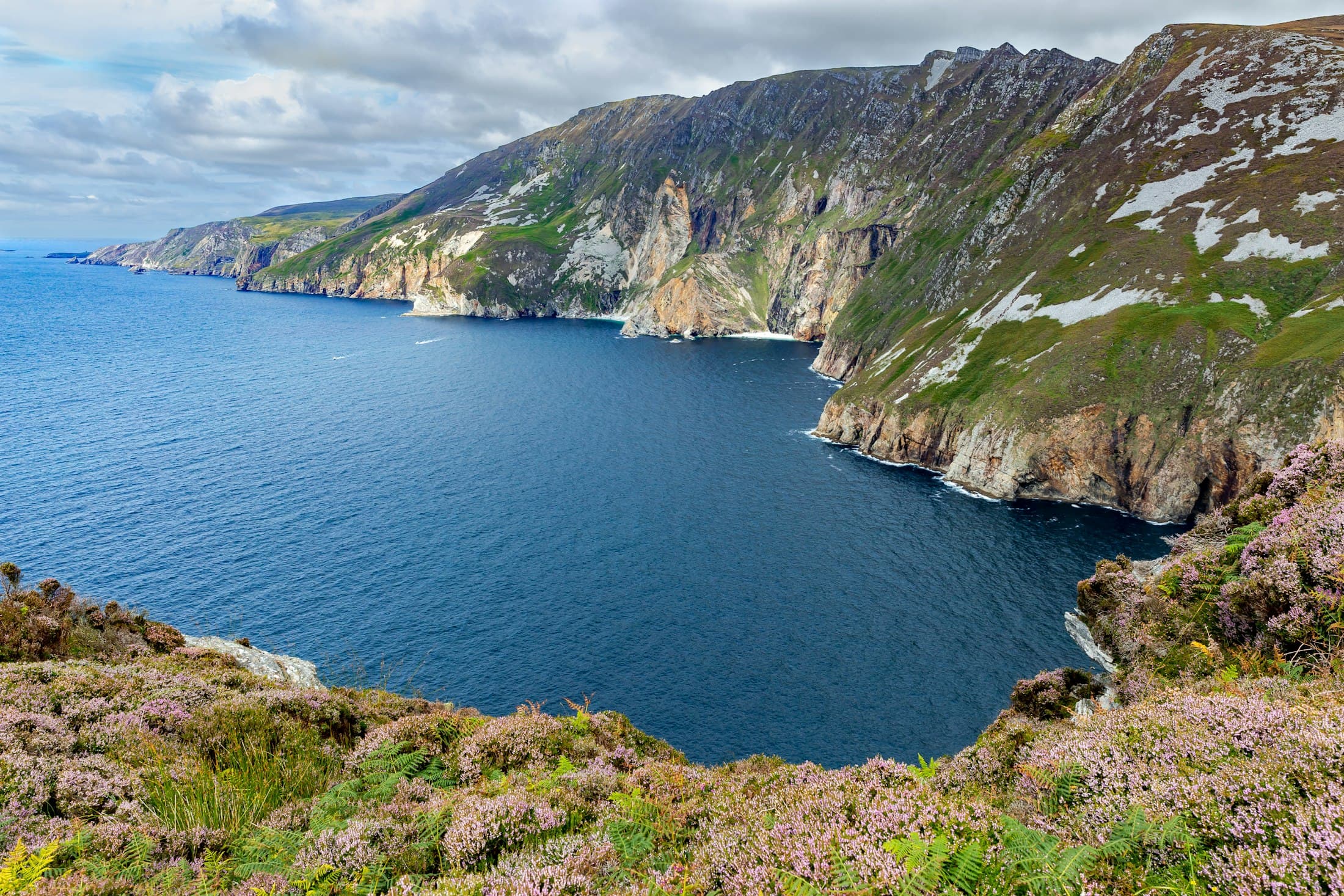
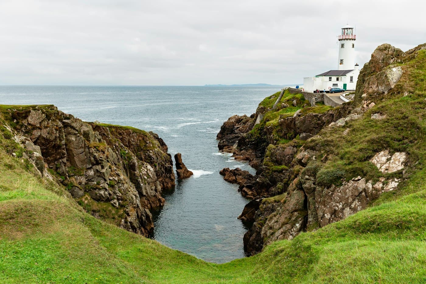
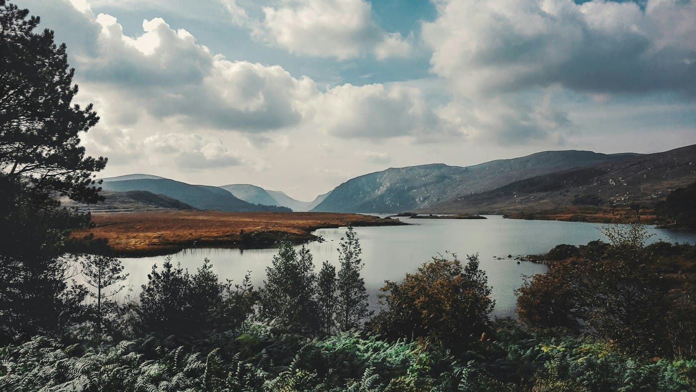
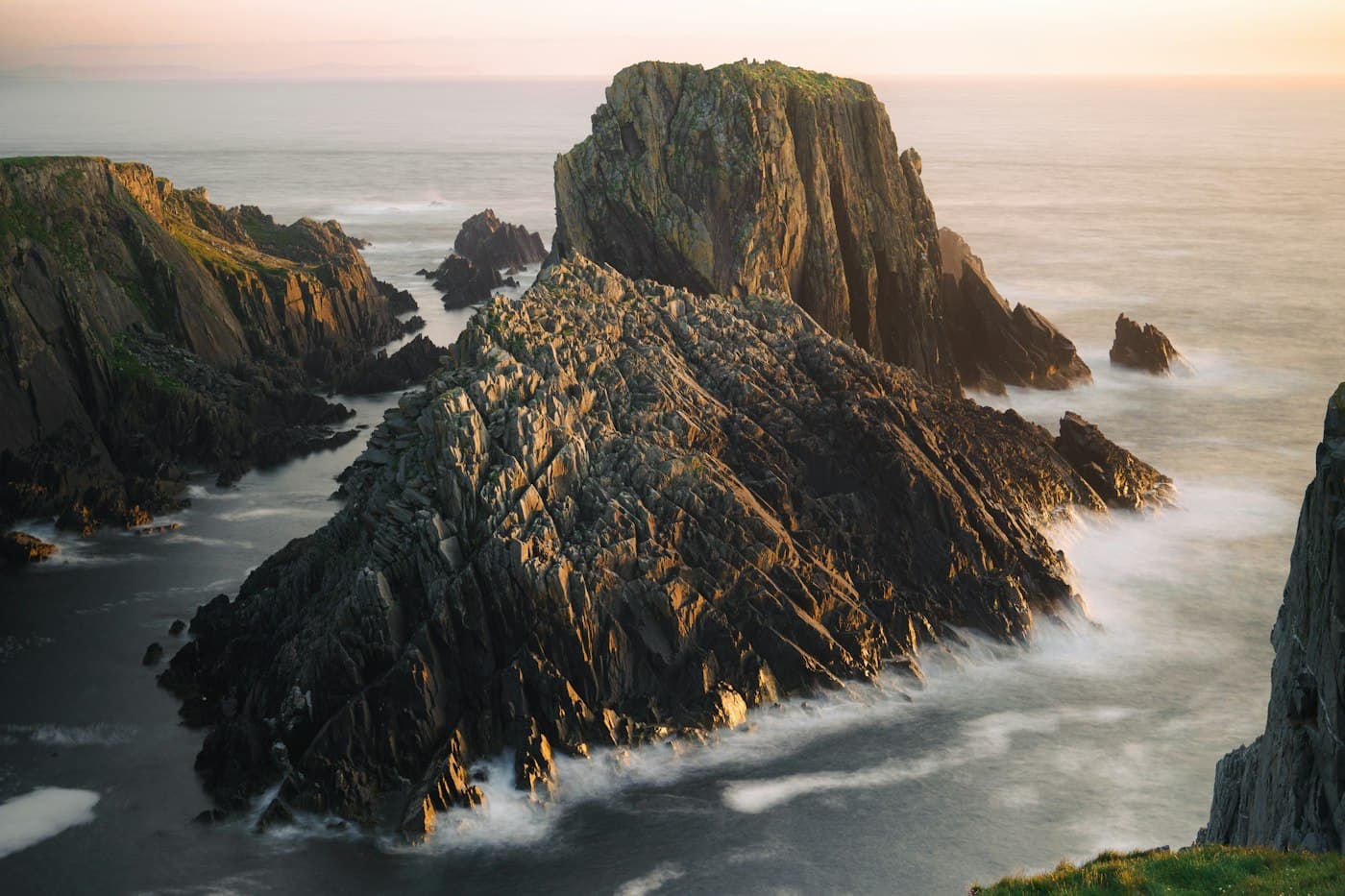
Ireland’s highest sea cliffs at Slieve League, Glenveagh’s castle and lake below Mount Errigal, the lighthouse at Fanad and the headland of Malin, and long Atlantic beaches — the wild north-west, where June nights never quite get dark.
Donegal is the northernmost county of Ireland, wrapped in Atlantic coastline and bordering Northern Ireland, part of the UK, to the east. In the south-west the cliffs of Slieve League — Sliabh Liag in Irish — rise more than 600 m above the sea, in an Irish-speaking district. Inland, Glenveagh National Park covers more than 16,000 hectares of mountain, lake and bog, with a granite castle completed in 1873 on Lough Veagh and part of Mount Errigal, at 751 m the county’s highest peak. On the north coast the Fanad Head lighthouse, first lit in 1817, marks the entrance to Lough Swilly, and on the Inishowen Peninsula, where the 2,500 km Wild Atlantic Way begins, Malin Head is the most northerly point of Ireland.
Donegal suits couples who want space and weather with character more than polish: an elopement on a headland or a long strand, a small wedding in a country church, and portraits in the late light — around midsummer the sun sets after ten. As everywhere in Ireland, a legal marriage needs three months’ notice to a registrar and a place open to the public, so many couples from abroad marry at home and make their vows here.
Through the year
When to marry in Donegal & the North West
May is the best bet at Malin Head: the sunniest month, with about 200 hours — six and a half a day — and, with June, the one with the fewest days of rain, about twelve. July and August are the warmest, with highs around 17 °C, but rain falls on about sixteen days a month. Wind is the bigger question here: Met Éireann counts more than fifty days of gales a year at Malin Head, against fewer than two at sheltered inland places, and even in July the wind reaches 36 km/h on more than half the days. Malin Head is an exposed headland, and inland, in sheltered glens and woods, the wind is far lighter; still, plan cliff-top portraits with a sheltered alternative close by. Over a year Malin Head gets about 1,140 mm of rain, less than the Kerry coast; frost is rare, and so is a day above 25 °C.
- January: Quieter
- February: Quieter
- March: Quieter
- April: Good with planning
- May: Best
- June: Best
- July: Best
- August: Best
- September: Good with planning
- October: Quieter
- November: Quieter
- December: Quieter
- Late spring and early summerMay and June are the sunniest and driest months, and the evenings stretch out: around midsummer the sun sets after ten and the northern sky stays blue all night. The air is still fresh, with highs of 13 to 15 °C.
- High summerJuly and August are the warmest months, with highs around 17 °C; the Blue Flag beaches have lifeguards from June to mid-September, and in high season basking sharks and dolphins are sometimes seen off Malin Head.
- Autumn and winterSeptember is still mild, at about 16 °C, and quieter. From October gales come more often and the days shrink to about seven hours in December — but on clear, dark nights the northern lights can appear over Malin Head.
In numbers
- Days with 1 mm of rain or more, best months
- May 12.2 · Jun 12.4 · Jul 15.7 · Aug 15.7
- Met Éireann (WMO)
Weather station: Malin Head, normals 1991–2020 · Checked 24 October 2026
Places
Where couples marry here
The kinds of places — ask your photographer which ones they know well.
Slieve League
The cliff face at Bunglass rises more than 600 m above the sea. In July, August and September a shuttle bus runs from the visitor centre to the viewing point; off-season you can drive up after buying a parking ticket. Keep to the paths and well back from the edge: One Man’s Path along the ridge is for experienced walkers only.
Glenveagh and Errigal
The castle and its Victorian gardens on Lough Veagh, reached by the park’s shuttle bus from the visitor centre, and the cone of Errigal reflected in Dunlewy Lough. The park keeps daytime hours, and commercial photography, drones and special events all need an NPWS permit — your photographer will know.
Fanad Head and Malin Head
The white lighthouse on the rocks at Fanad, lit since 1817 and still working, and the headland of Malin Head, with the old signal tower at Banba’s Crown, the sea arch of Devil’s Bridge and, on the road in along Trawbreaga Bay, some of the largest sand dunes in Europe.
The Atlantic beaches
Long, pale strands such as Killahoey, Marble Hill, Narin and Rossnowlagh — Blue Flag beaches with lifeguards from 1 June to 15 September. Swim only where and when lifeguards are on duty.
Light
How the light falls
This far north the summer evenings are among the longest in Ireland: on 21 June the sun sets at Malin Head at a quarter past ten and rises again at a quarter to five, and from early June to early July it never sinks more than 12° below the horizon, so a blue glow lingers in the northern sky all night. In December the day lasts barely seven hours, from about five to nine until four, with the sun no more than 11° high — a low, soft light from morning to dusk.
Travel
Getting there
Donegal Airport at Carrickfinn, on the west coast, has flights from Dublin and Glasgow and is about 40 km from Glenveagh. City of Derry Airport, about 50 km from Letterkenny, is across the border in Northern Ireland, part of the UK: there are no checks on the land border, but visitors who are not British or Irish and don’t live in Ireland need a UK ETA, or a visa, to fly in there or to drive through Northern Ireland. Ireland West Airport Knock is about 120 km from Donegal Town, and Dublin Airport about 230 km — three hours or more, on roads that cross Northern Ireland for part of the way. On the headlands, park well back and stay away from cliff edges in strong wind; drones follow the Irish Aviation Authority’s EU rules and need an NPWS permit in Glenveagh.
Photographers
Photographers in Donegal & the North West
No one in Donegal & the North West yet
The first photographers in Donegal & the North West are joining now. Tell our concierge your date and your plans — it checks who is free and fits.
Plan
Read before you plan
- Getting married in Ireland as foreigners: civil, religious, humanist or symbolicHow couples who don’t live in Ireland marry there legally: three months’ notice by post, the visit in person, documents, translations and apostilles, visas and interviews, foreign divorces, a priest from home, why clifftop weddings are usually symbolic, and registering the marriage back home.
- How to choose a wedding photographer: the steps, and the questions to askThe decision in order — whole weddings, style, availability, the package, the contract and deposit, cancellation, delivery and a conversation — then a checklist of questions, with why each one matters.
- A wedding-day timeline for photosFrom getting ready to the last dance, planned around the light.
- Deposits and payment protectionWhat you pay when, and what happens if plans change.
- How to get married in Ireland when you live here: notice, documents, ceremonyFor couples who live in Ireland: booking the marriage notification appointment and what to bring, the €200 fee and the Marriage Registration Form, a registrar, a priest or a humanist celebrant, where the law lets you marry, and what to do after the day.
- Which country for a destination wedding? The law, prices, crowds and light, comparedThe legal route for couples who don’t live there, season and crowds, price levels, light, flights, venues and permits for photographs — Portugal, Italy, Spain, Greece, France and Austria compared with official figures, as of October 2026.
- A rain plan that still looks goodCovered spots, umbrellas and what photographers do on grey days.
- Wedding photography contract checklist: what it should say, and how Lens & Vows handles each pointThirteen things a good contract covers — the day and the hours, what is delivered, deposit and balance, cancellation on either side, date changes, illness, image rights, personal data, backups, travel, overtime and complaints — and what our terms say about each.
Ireland
Other places
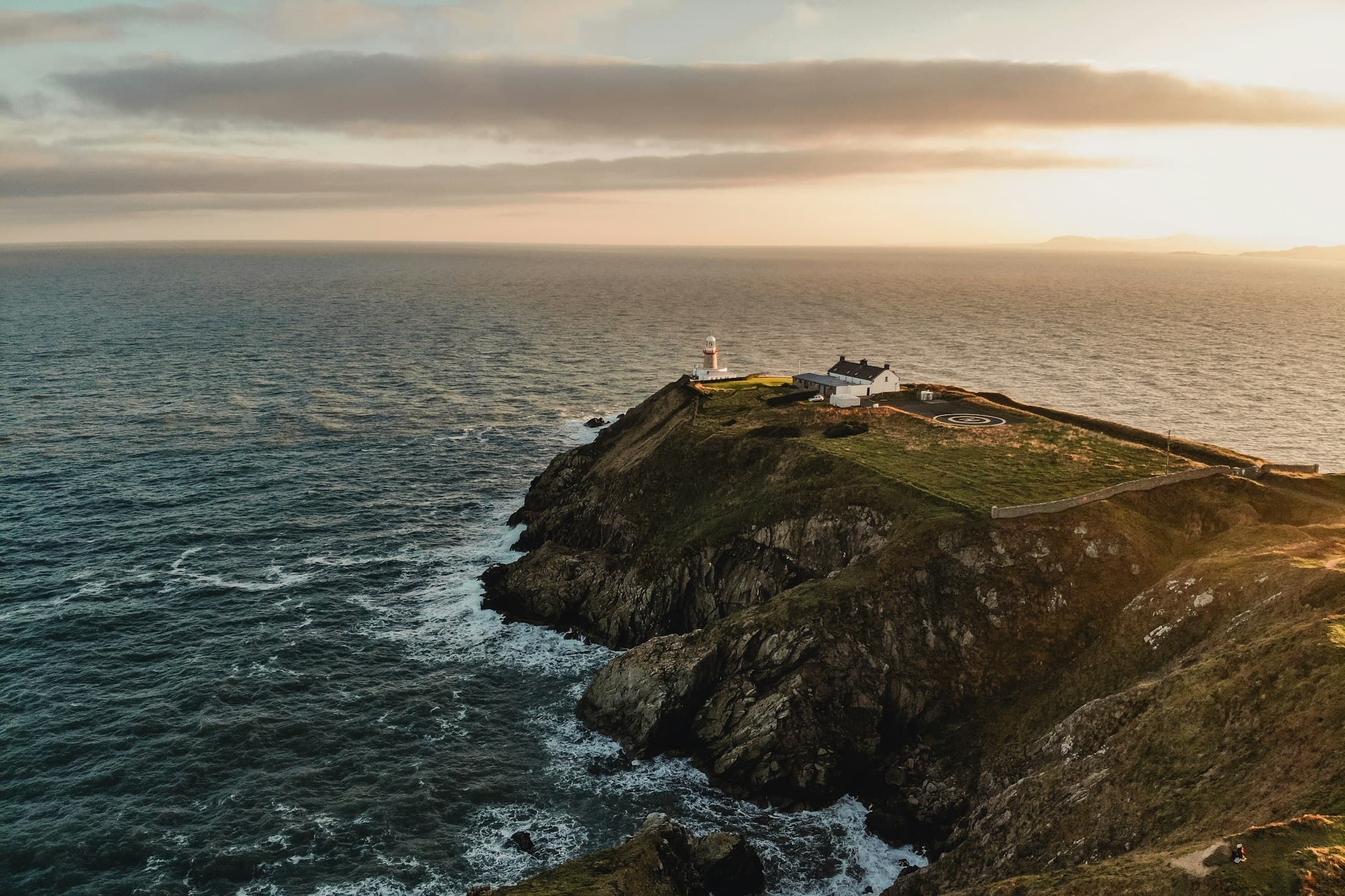 Dublin & WicklowBest: Jun · Jul · Aug · SepPhotographers joining
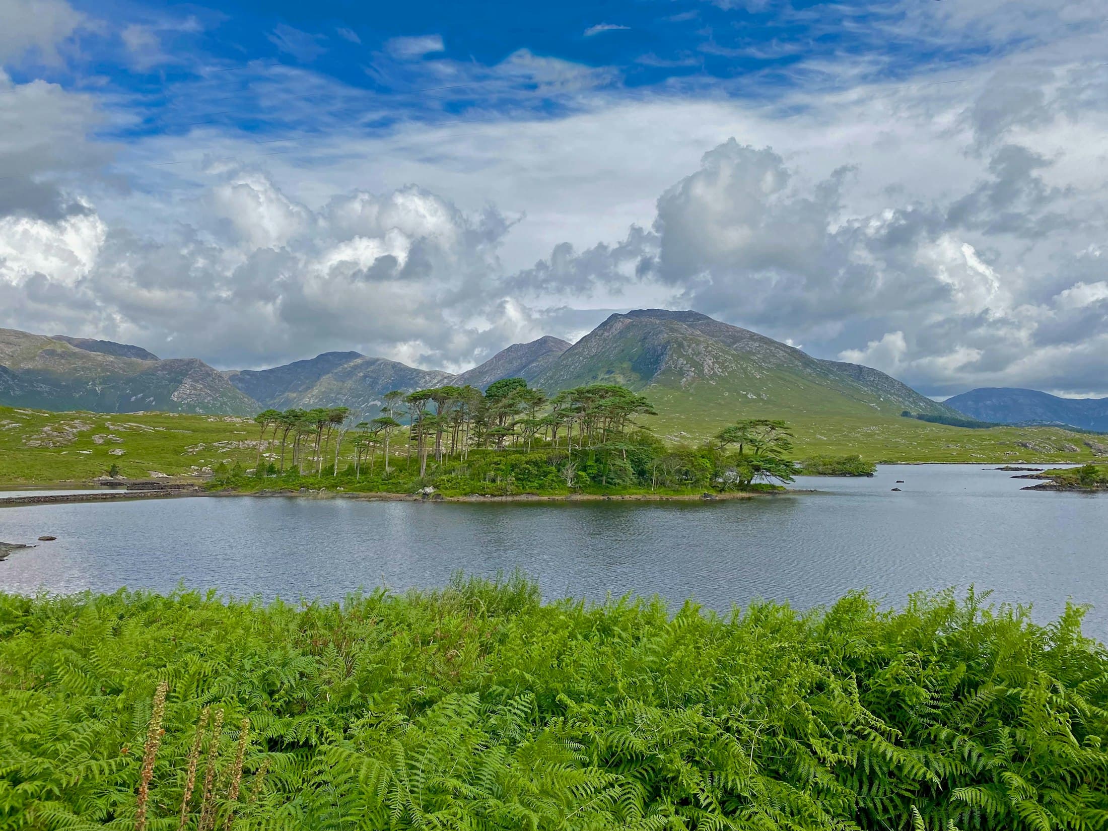 Galway & ConnemaraBest: May · Jun · JulPhotographers joining
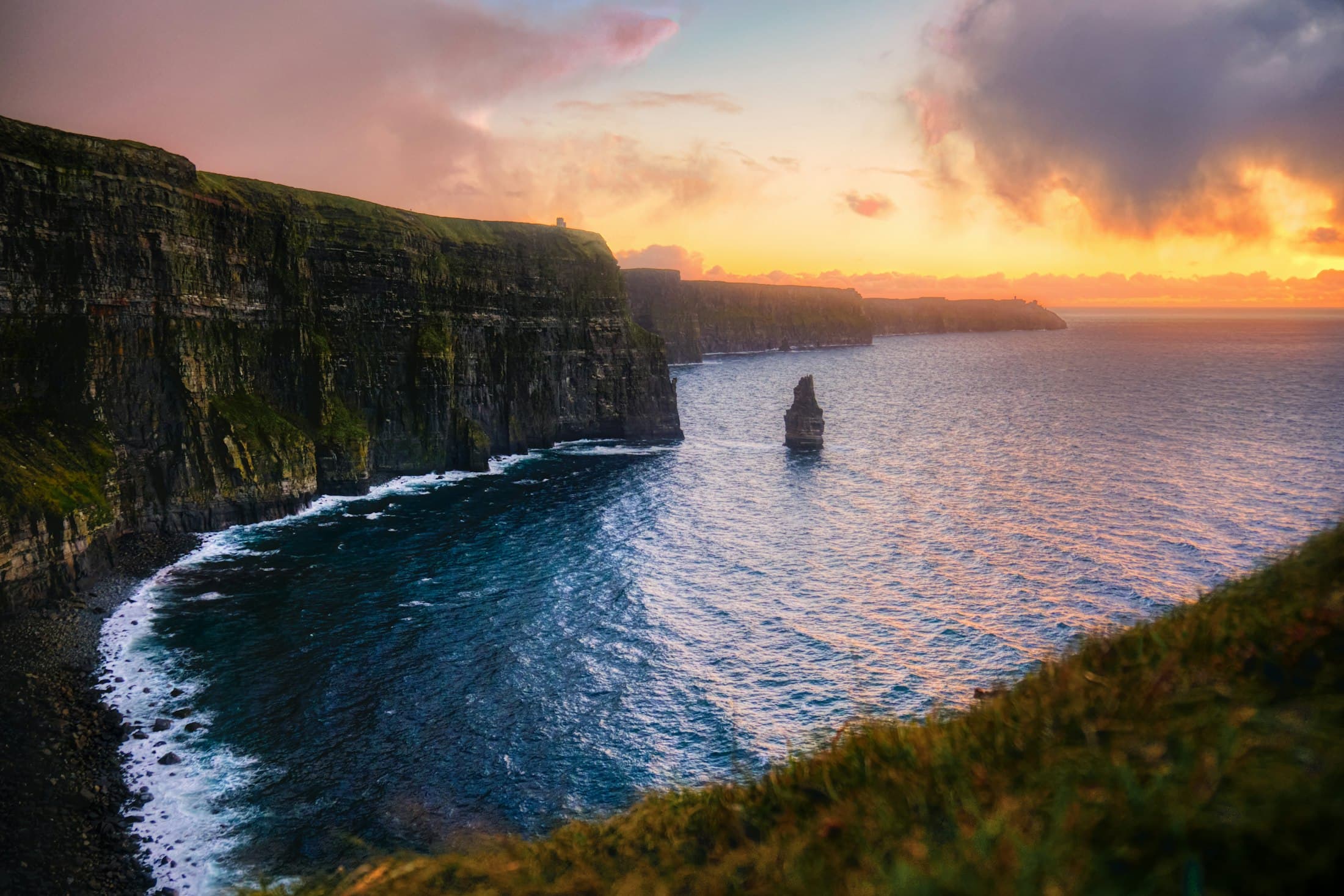 Clare & the Cliffs of MoherBest: May · Jun · JulPhotographers joining
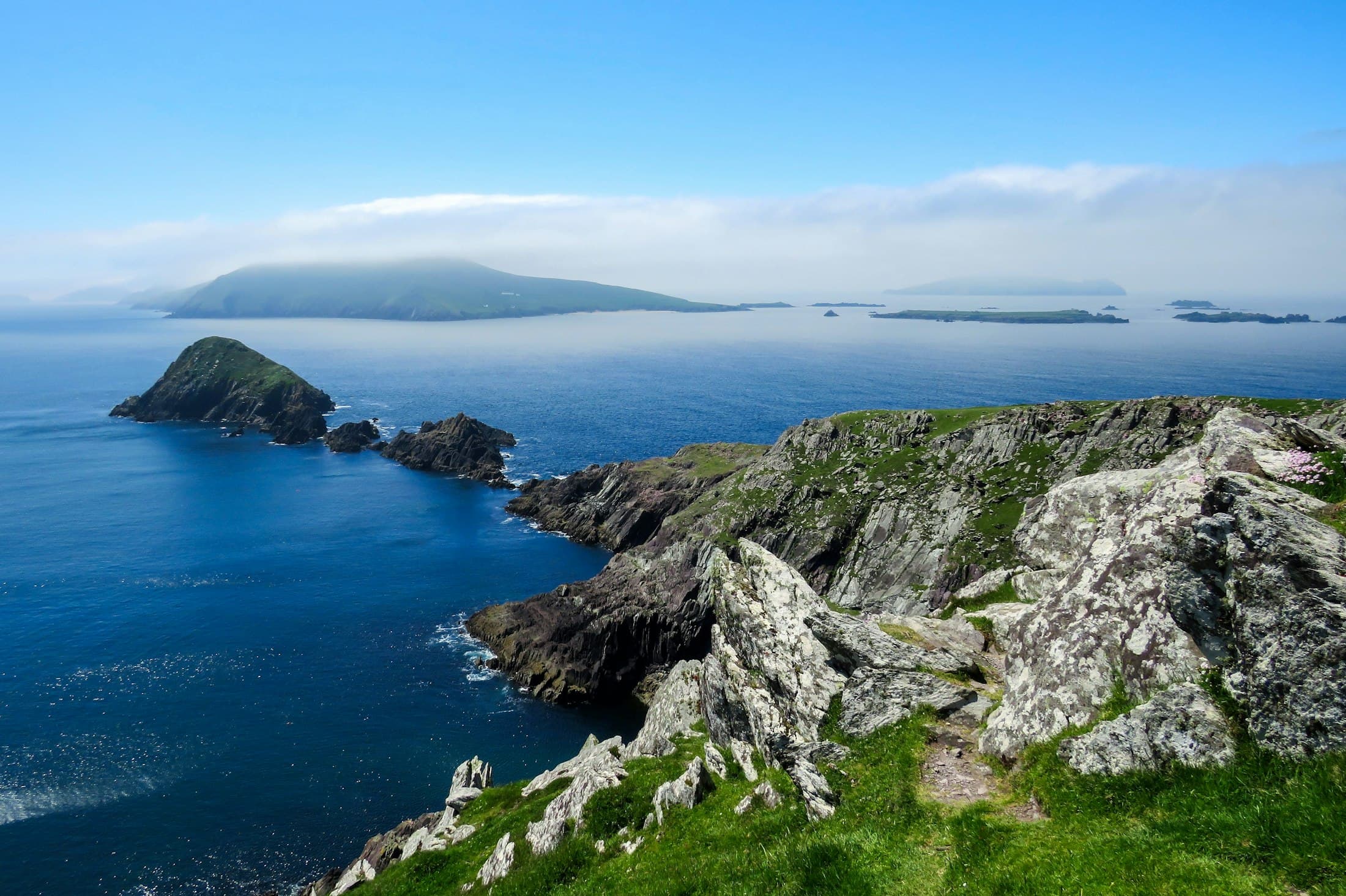 Kerry & the South WestBest: May · Jun · Jul · AugPhotographers joining
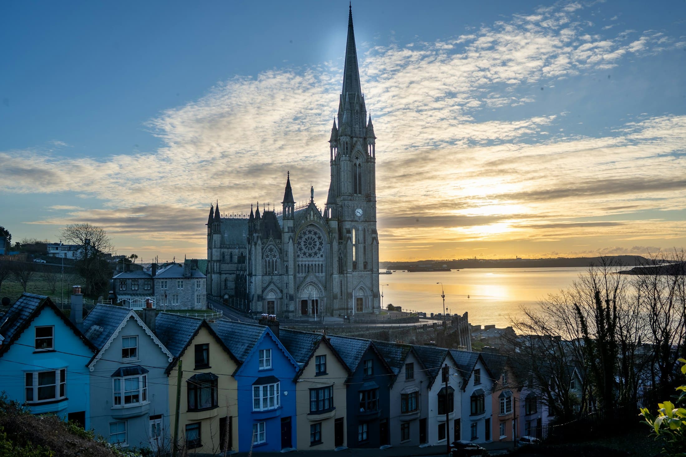 CorkBest: Jun · Jul · Aug · SepPhotographers joining
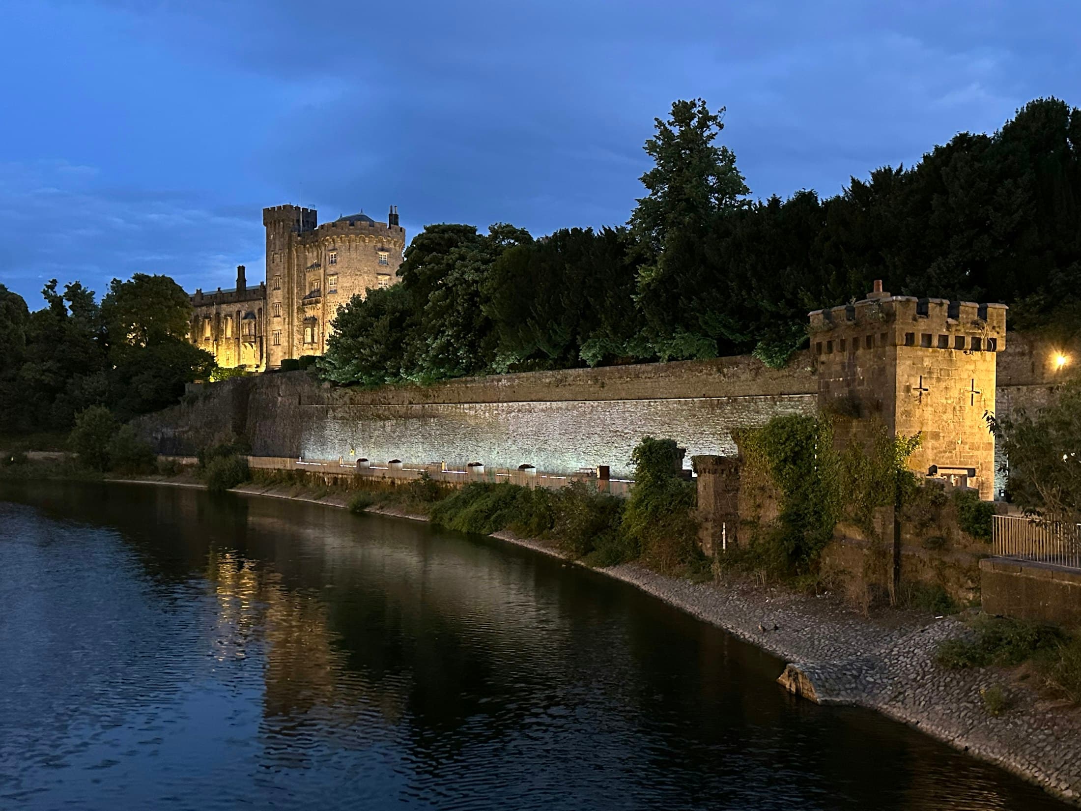 Kilkenny & the South EastBest: Jun · Jul · Aug · SepPhotographers joining