Founding photographerVerified — Identity verified by Lens & Vows
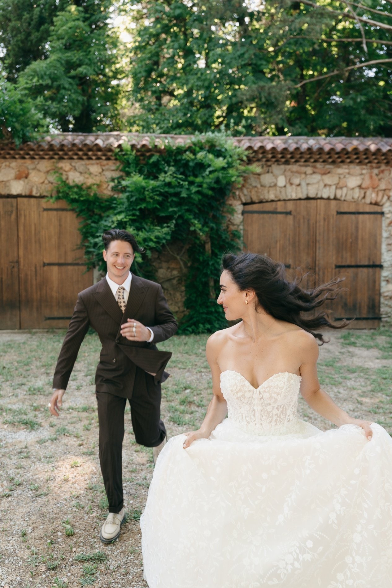
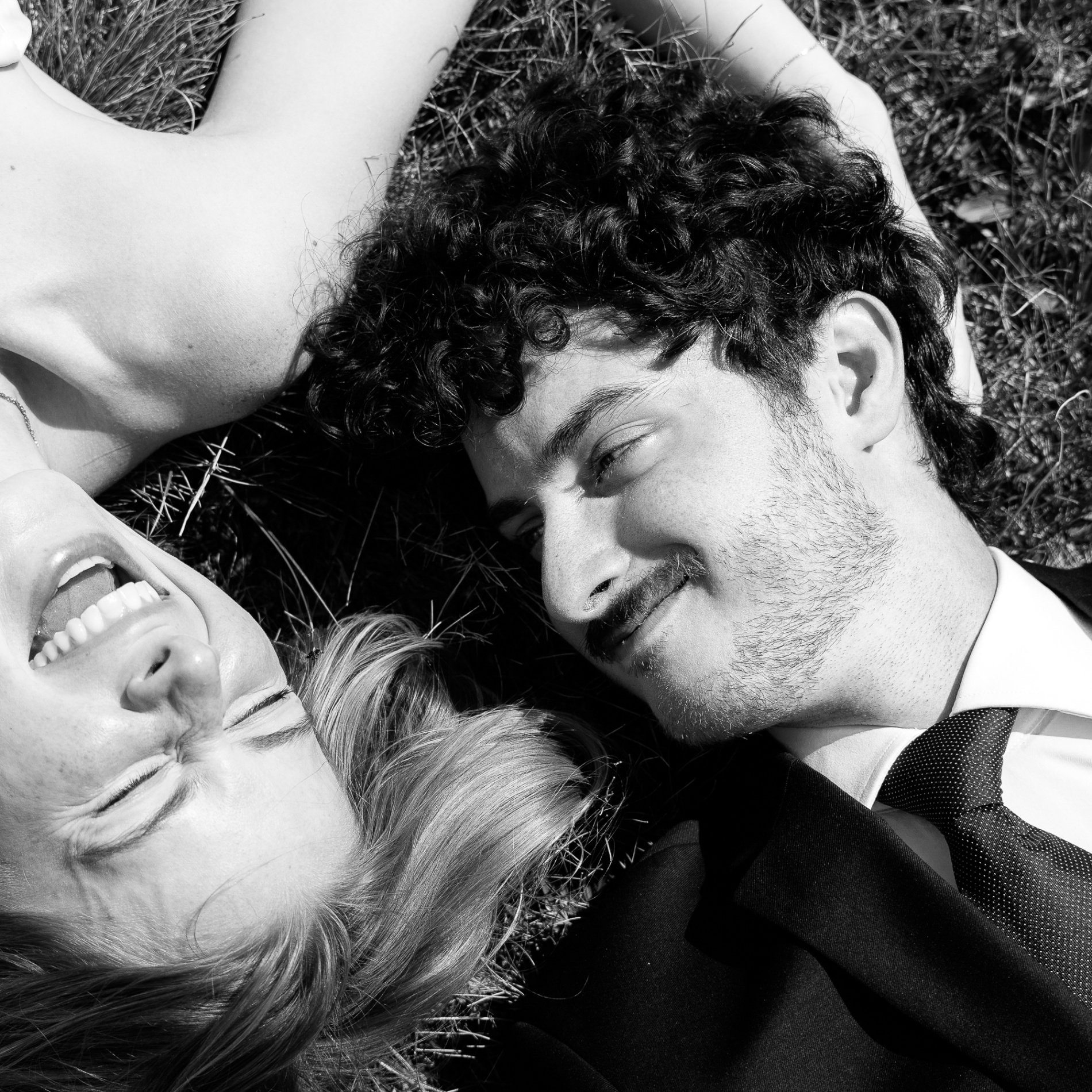
Dani H.from €4,500
Zermatt & the Valais, Zurich +41 · Documentary, FilmBased in Austria · travels to weddings in SwitzerlandWedding photographers in Switzerland
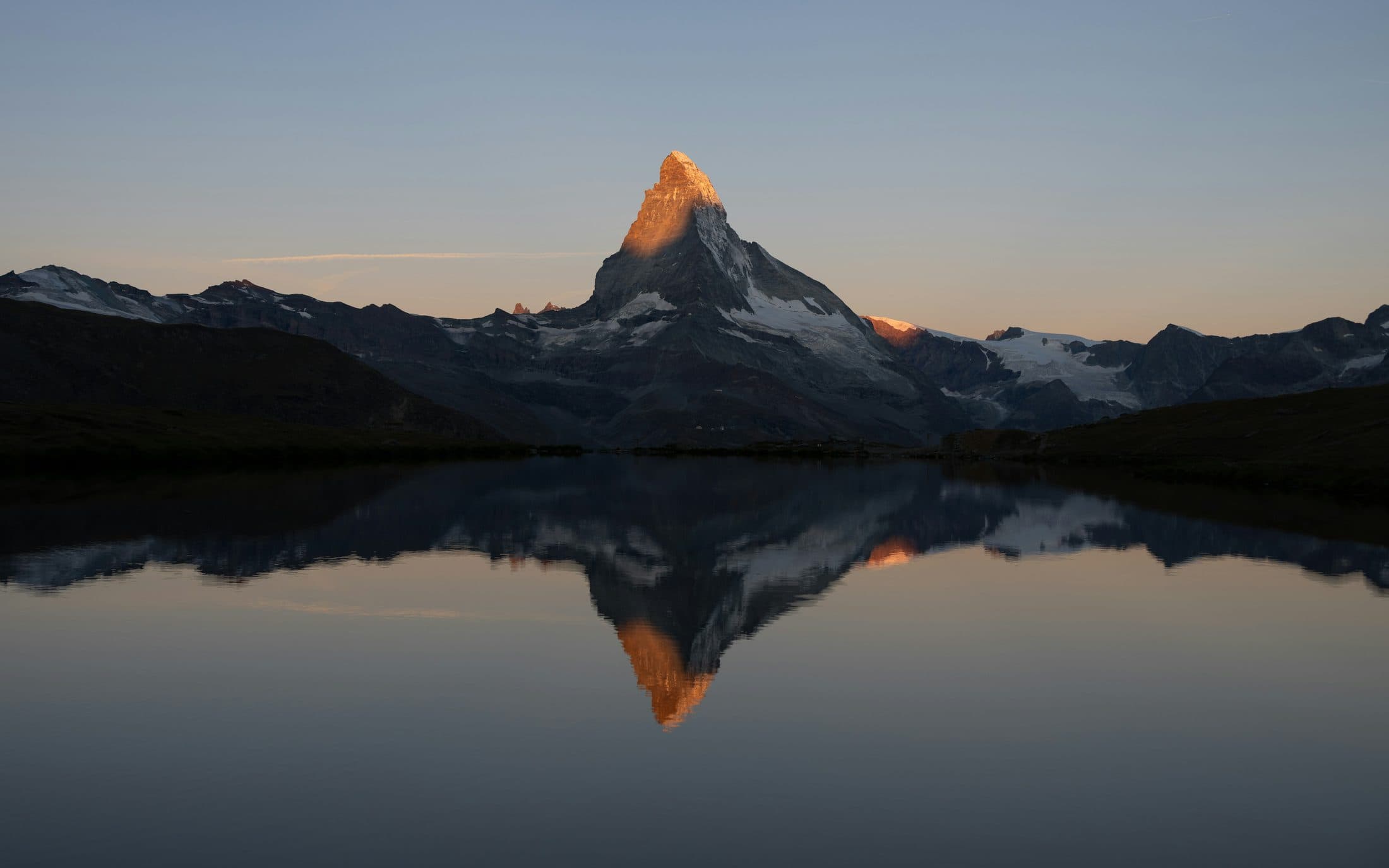
A car-free village of dark timber below the 4,478 m Matterhorn, high lakes that mirror the peak at first light and, down in the Valais, the castle hills of Sion and the great Aletsch Glacier.
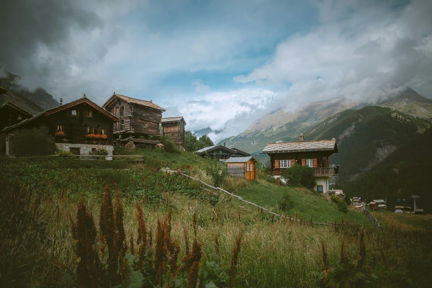
Zermatt has always been car-free: you leave the road at Täsch, five kilometres short of the village, and arrive by train in the middle of the old wooden houses.
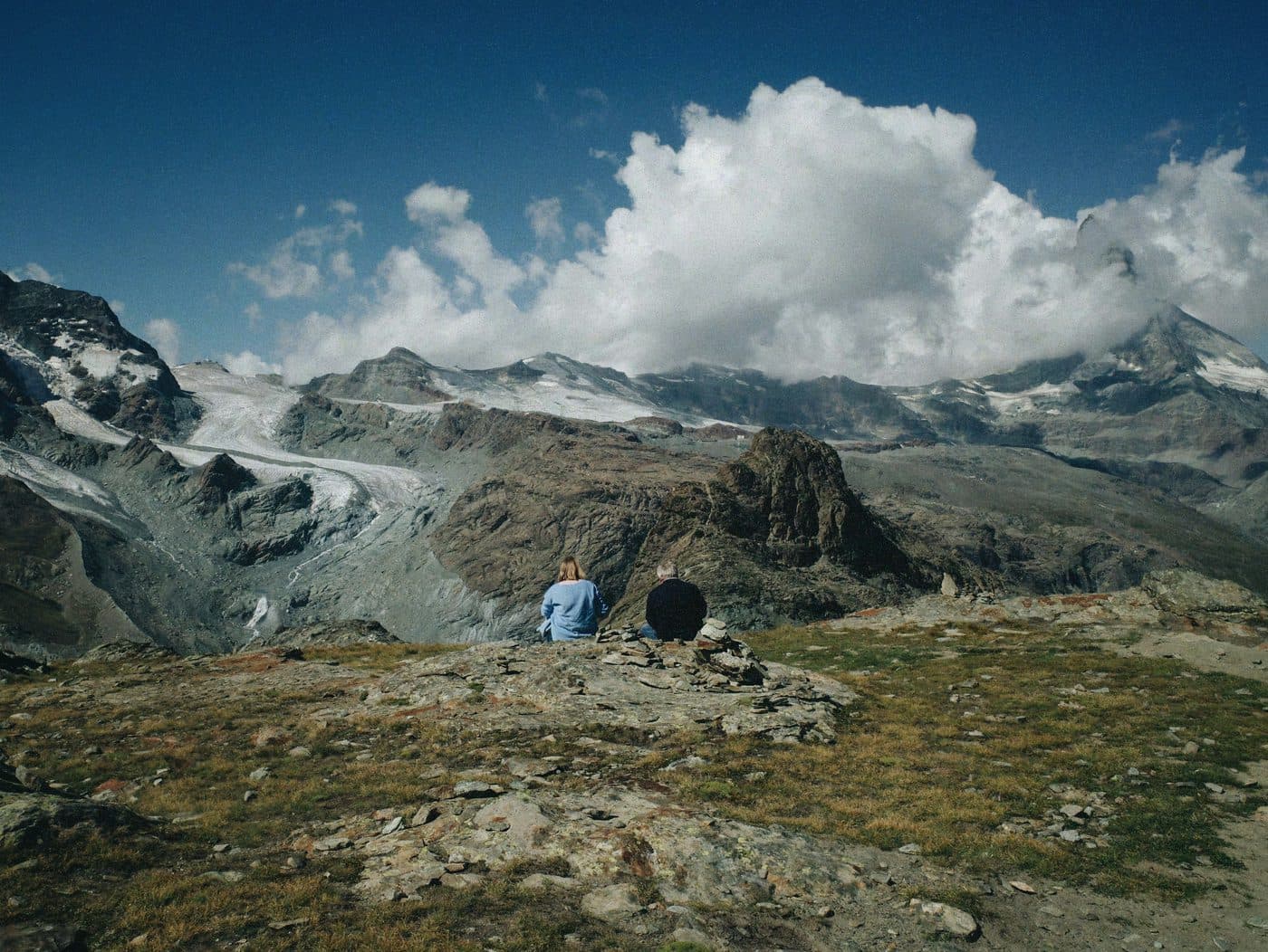
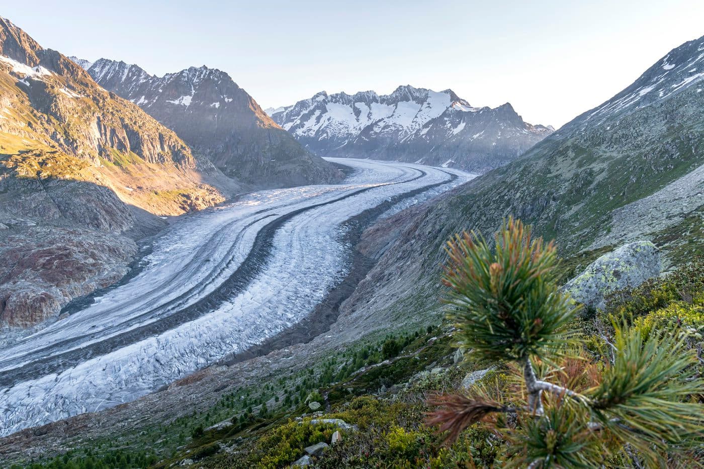
The Matterhorn stands over it all, in view from the church square and the church bridge. Above the village, cable cars and a cog railway climb to lakes that hold the peak’s reflection, to small chapels and to the Gornergrat, at about 3,100 m. The rest of the canton is a world apart: Sion, Switzerland’s oldest city, under its two fortress hills in the sunny Rhône valley; Saas-Fee, another car-free village, ringed by four-thousanders; and the Aletsch Glacier, the heart of a World Heritage site, which UNESCO calls the largest glacier in Eurasia.
Weddings here tend to stay small and close to the mountain. The legal part takes place in a wedding room of one of the Valais’s six civil registry offices, with two adult witnesses; a ceremony can follow in a chapel by a mountain hotel, and other couples simply go up at dawn with a photographer for an hour at a lake. In Switzerland only a civil registrar can marry you, after a preparation procedure with the registry office; a religious or symbolic ceremony alone is not a legal marriage, and a church wedding can only follow the civil one.
Photographers
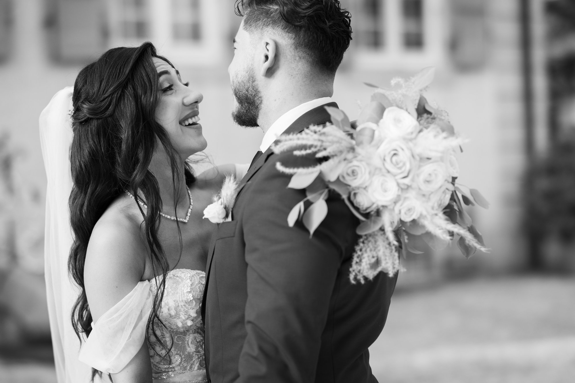
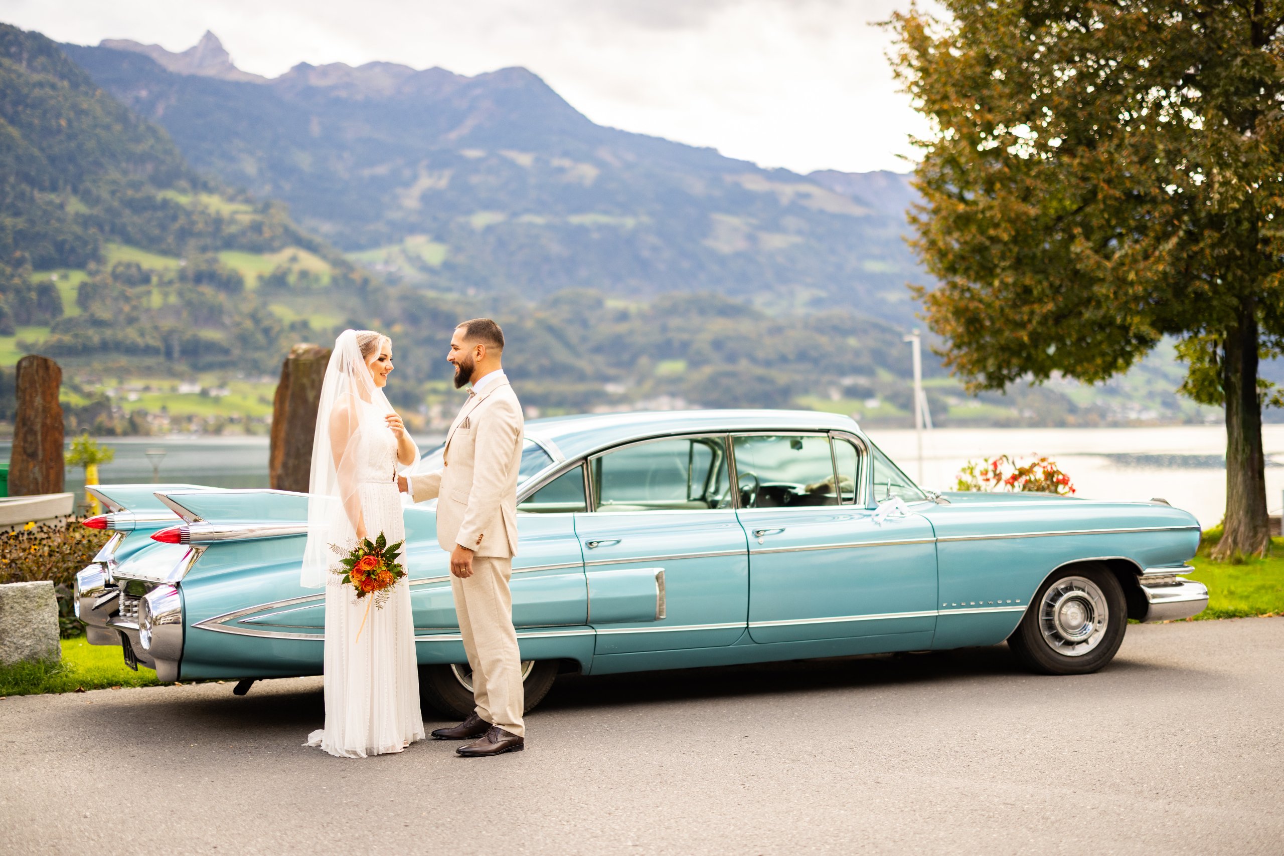
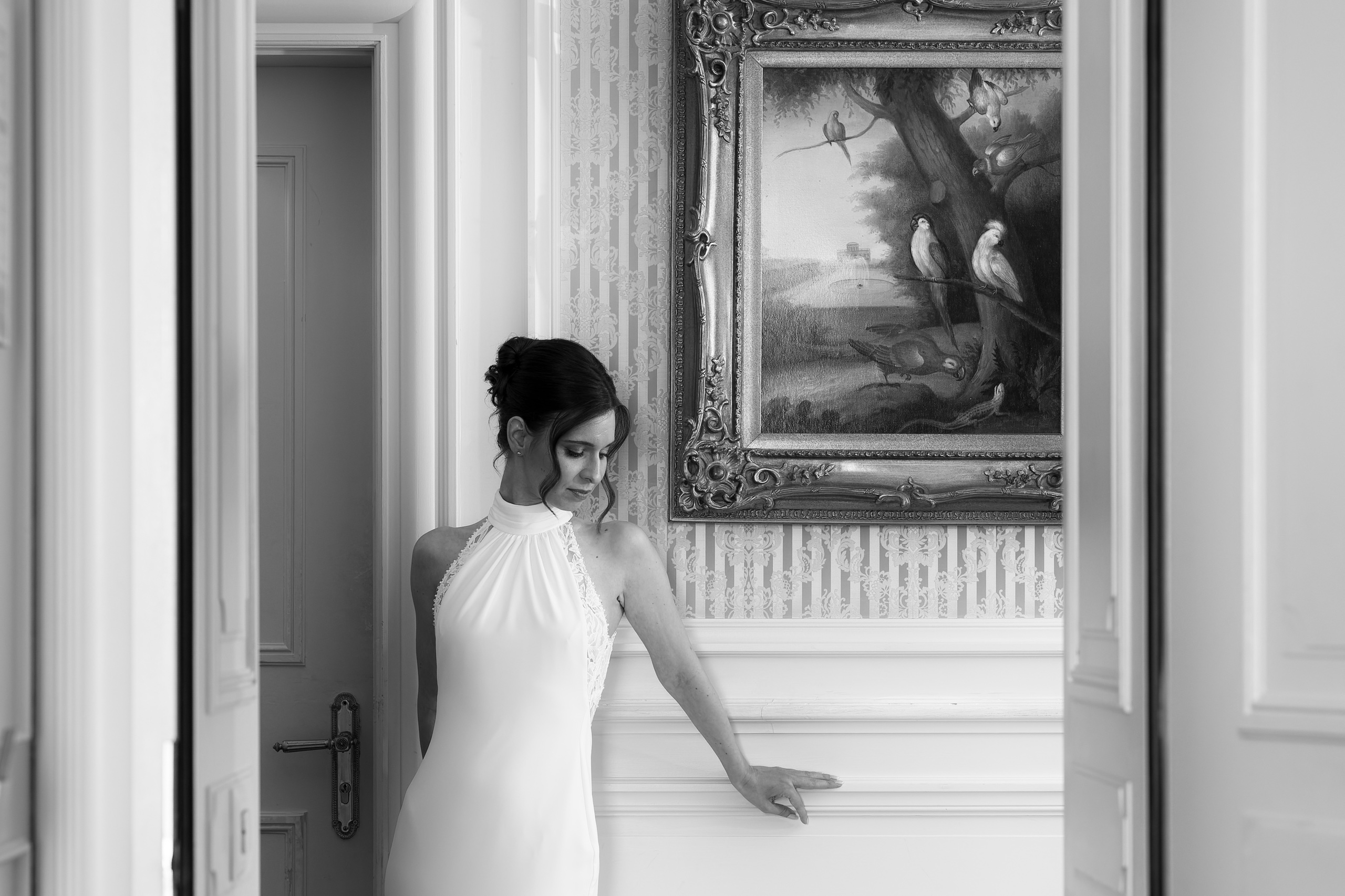
They shoot here and know the light. Their whole weddings are on their pages.
See all 4 photographers
Booking through Lens & Vows
Through the year
July, August and September are the months for the high lakes: in MeteoSwiss’s 1991–2020 normals for Zermatt, at 1,638 m, the highs are 20 °C in July and August and 15 °C in September, with a millimetre of rain or more on nine or ten days a month in high summer and seven in September. Nights are cool, at about 8 °C in July, and the Riffelsee lies 1,100 m above the station, so bring warm layers. June and August are the wettest by days, and May has the most rain of the year, 77 mm; the hiking season opens around mid-June. October is calm, with seven rainy days and highs of 11 °C, and frost on about nine nights. From December to March the highs are 1 to 6 °C, with frost on nearly every night. Between the seasons much of the mountain stops, so check the lifts and the Gornergrat railway before fixing a date.
Weather station: Zermatt, normals 1991–2020 · Checked 2 November 2026
Places
The kinds of places — ask your photographer which ones they know well.
The Riffelsee, at 2,757 m, is a gentle ten-minute walk down from Rotenboden station, 28 minutes from Zermatt on the Gornergrat railway. The Stellisee, at 2,537 m, is twenty minutes on foot from Blauherd and most romantic at sunrise and sunset. Both hold the Matterhorn’s reflection only when the air is still, usually early or late in the day. The five-lake route links the Stellisee to four others over 11.3 km and about three and a half hours. If cloud hides the peak, a second slot the next morning is the only cure.
The chapel of Maria zum Schnee stands on the shore of the Schwarzsee, at 2,552 m, and is reflected in its dark water when the air is still. Bruder Klaus on the Riffelberg, at 2,590 m, faces the Matterhorn and echoes the outline of the Weisshorn; some 50 couples from around the world held ceremonies there until 2011, but that service has ended and the chapel is now one to visit. Lower down are Blatten, at 1,740 m, and Ried, at 1,760 m, with its dramatic view. These are places of worship: ask the parish or the owner before planning a ceremony or a shoot.
The classic view of the peak comes from the church square and the church bridge, and the English Church of St Peter recalls the British visitors who first came for the Matterhorn. Behind the main street, the lanes of the Englischer Viertel lead to old wooden barns that farmers still use, so keep clear of their work and their doors. Getting around means e-taxis, horse-drawn carriages or your feet. When the weather closes in, this is where to be: timber, narrow lanes and warm rooms need no view at all.
Sion is just under two hours by train from Zermatt: a fan-shaped old town, vineyards, and the hills of Tourbillon, in ruins, and Valère, with its fortified church. Saas-Fee, at some 1,800 m, is ringed by 18 four-thousanders, 50 minutes by bus from Visp. For the Aletsch Glacier, Bettmeralp and Riederalp are about half an hour from Brig by train and cable car; the Aletschwald beside them is a federal game reserve, so no drones. The Rhône valley is also the driest ground here, with 583 mm of rain a year and 2,158 hours of sun at Sion, and July highs of 27 °C.
Light
The Matterhorn lies south-west of the village, so the first sun catches its summit while the valley below is still dark: that burning tip, reflected in a still lake, is the picture couples come for. On the calendar, sunrise in Zermatt is at about twenty to six at midsummer and ten past eight at midwinter, and sunset at about twenty-five past nine and a quarter to five, but the ridges take the sun from the valley floor well before and after those times. Time the portraits by the mountain, not the clock. Up at the lakes the warm, low light starts about an hour before sunset: ten past eight in June, twenty to seven in mid-September. Dusk lasts about half an hour, a little longer at midsummer.
Travel
Trains run to Zermatt every half hour, about three and a half hours from Zurich Airport and four from Geneva Airport. By car you can go only as far as Täsch, about 232 km from Geneva Airport, 239 km from Zurich Airport and 190 km from Milan Malpensa; park there and take the shuttle train, every 20 minutes and 12 minutes long, or a licensed taxi. Driving on to Zermatt brings large fines. Switzerland has applied the EU’s drone rules since 2023: the operator registers (at home if that country is an EASA member, otherwise in Switzerland), even for a camera drone under 250 g, holds a pilot’s certificate and CHF 1 million of liability insurance from 250 g, flies in sight, below 120 m and never over a crowd, a wedding included, and checks the Federal Office of Civil Aviation’s drone map and daily bulletin before each flight. A no-fly zone of 5 km surrounds Zermatt’s heliport, closing the village, Täsch and the Stellisee to drones over 250 g on the official map; Air Zermatt can grant an exemption on request. Helicopters have right of way. Sion’s airfield has a zone of its own and the Aletschwald reserve is closed to all drones: check FOCA’s map and daily bulletin before every flight.
Plan
Switzerland